
Google Earth Evidence of Amelia Earhart's Electra Aircraft
Discovered as of October 13, 2025.
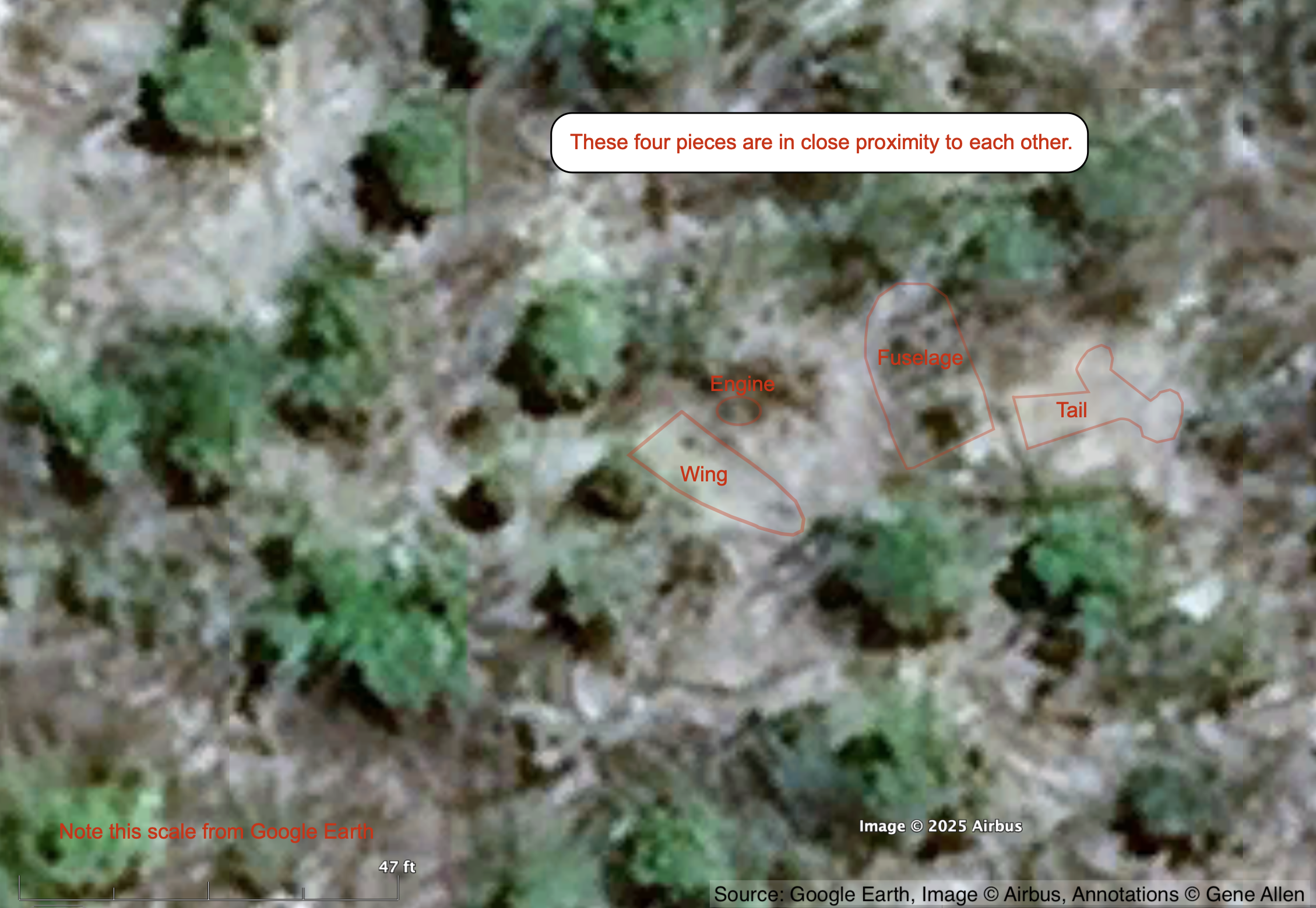
Below are objects on Gardner/Nikumaroro Island as seen using Google Earth, that resemble parts of a Lockheed Electra in shape and size. They are in close proximity to each other except for one identified as an engine, which is 800' from the others.
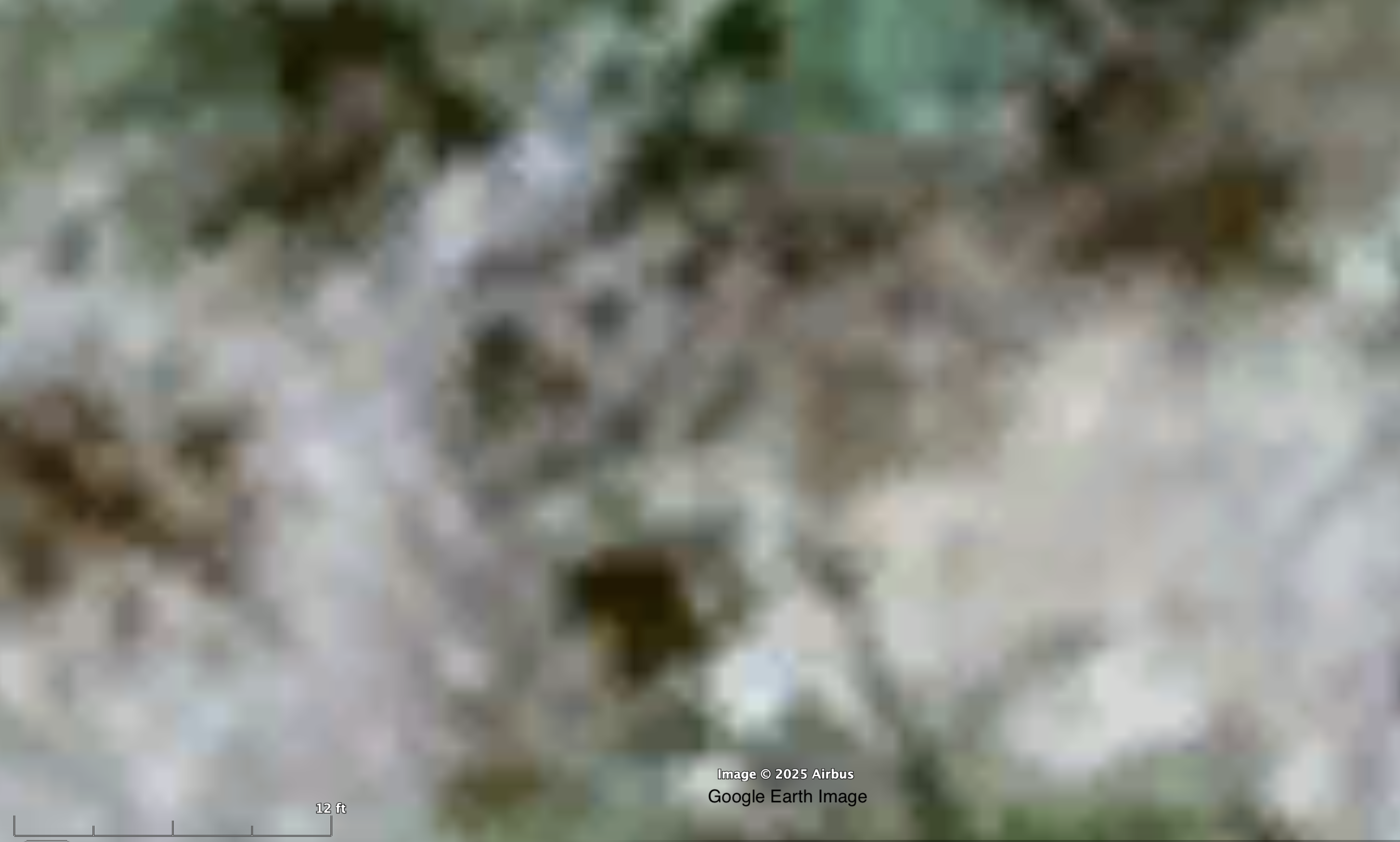
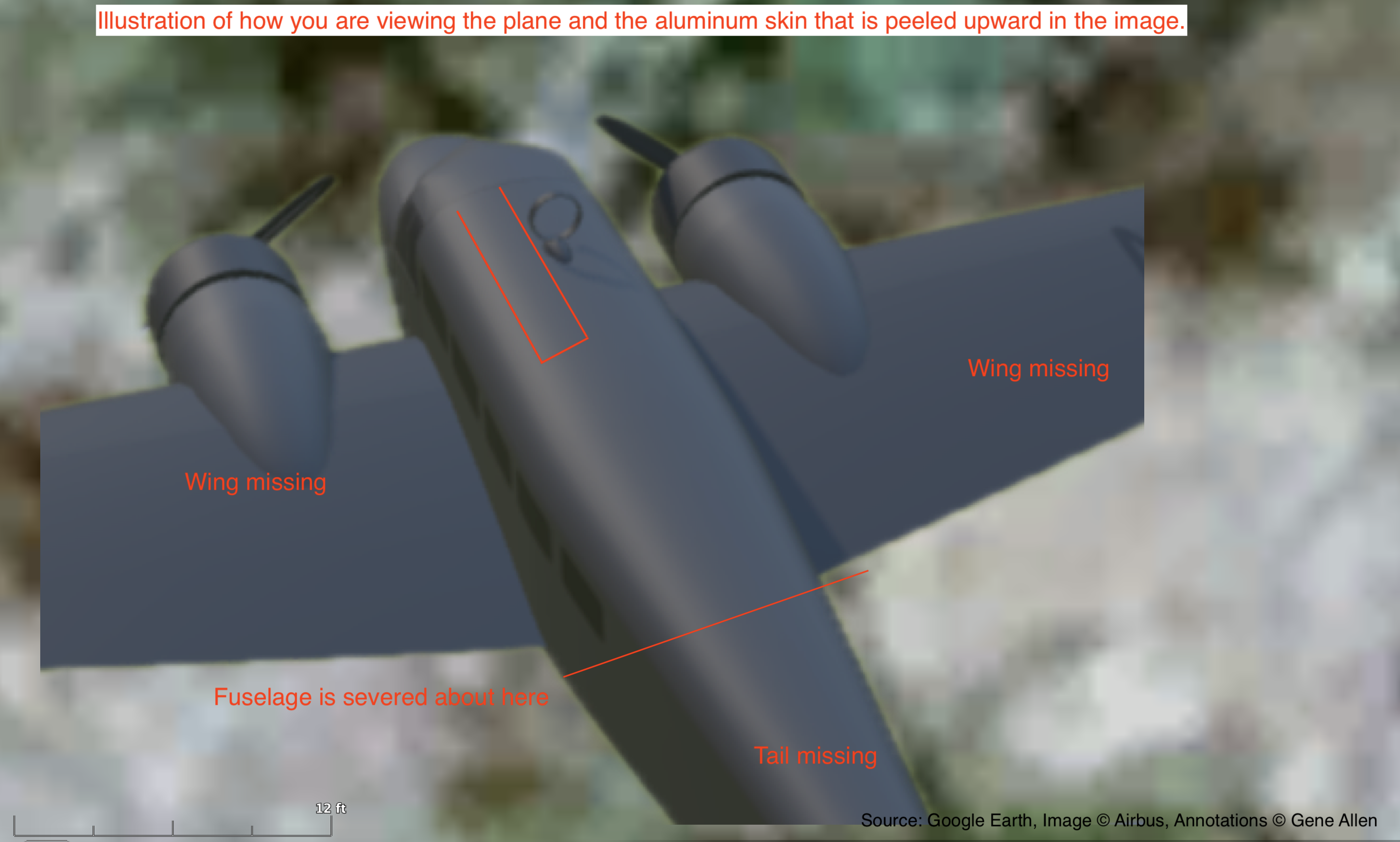
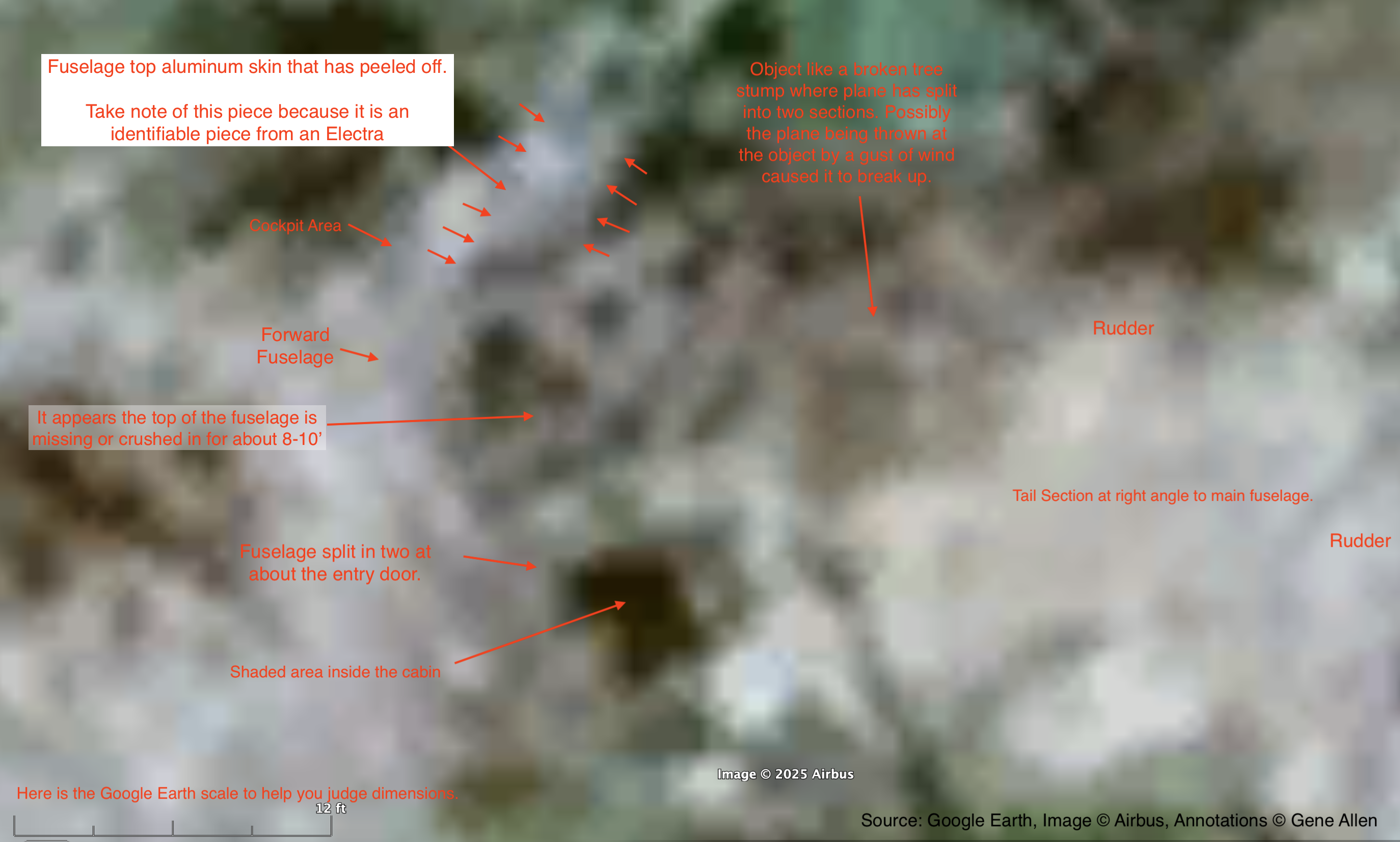
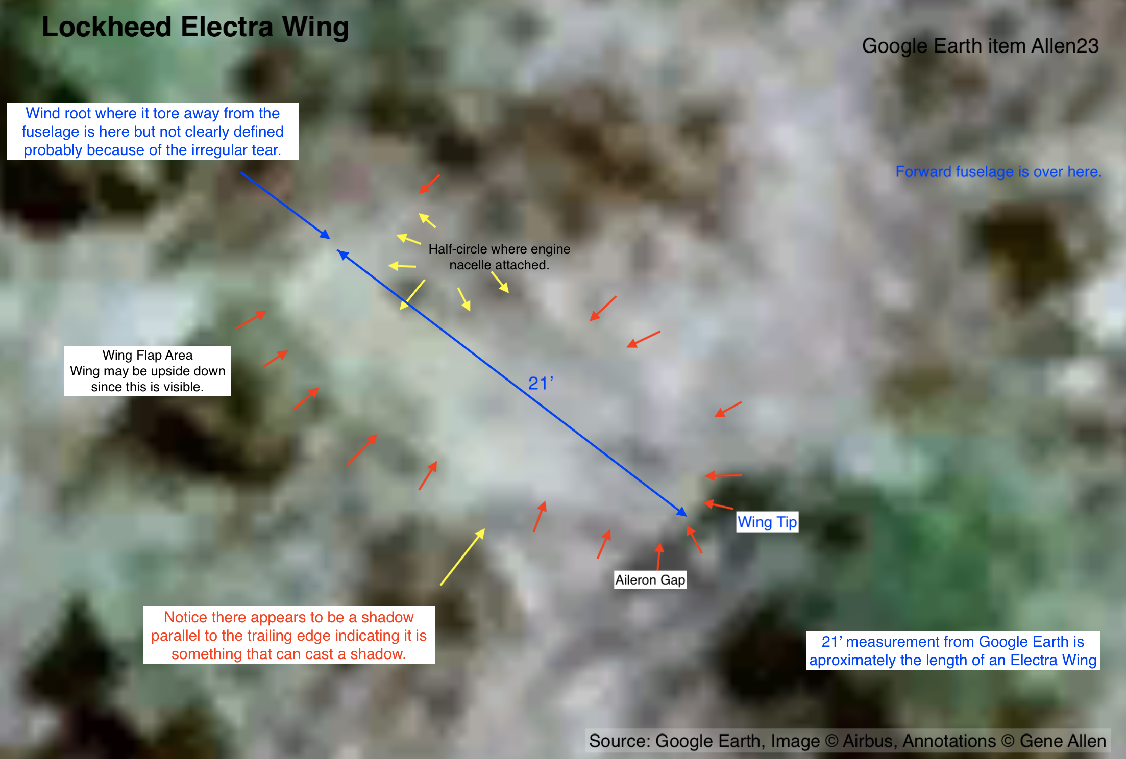
Don't expect an intact airplane. It is broken into pieces. The fuselage is broken in two at about the aft cabin door and appears to be wrapped around something like a tree so that the main fuselage and tail are at a 90-degree angle to each other. A wing is lying nearby. Perhaps a strong wind, thunderstorm or tornado just picked up the plane off the beach and flung it inland.
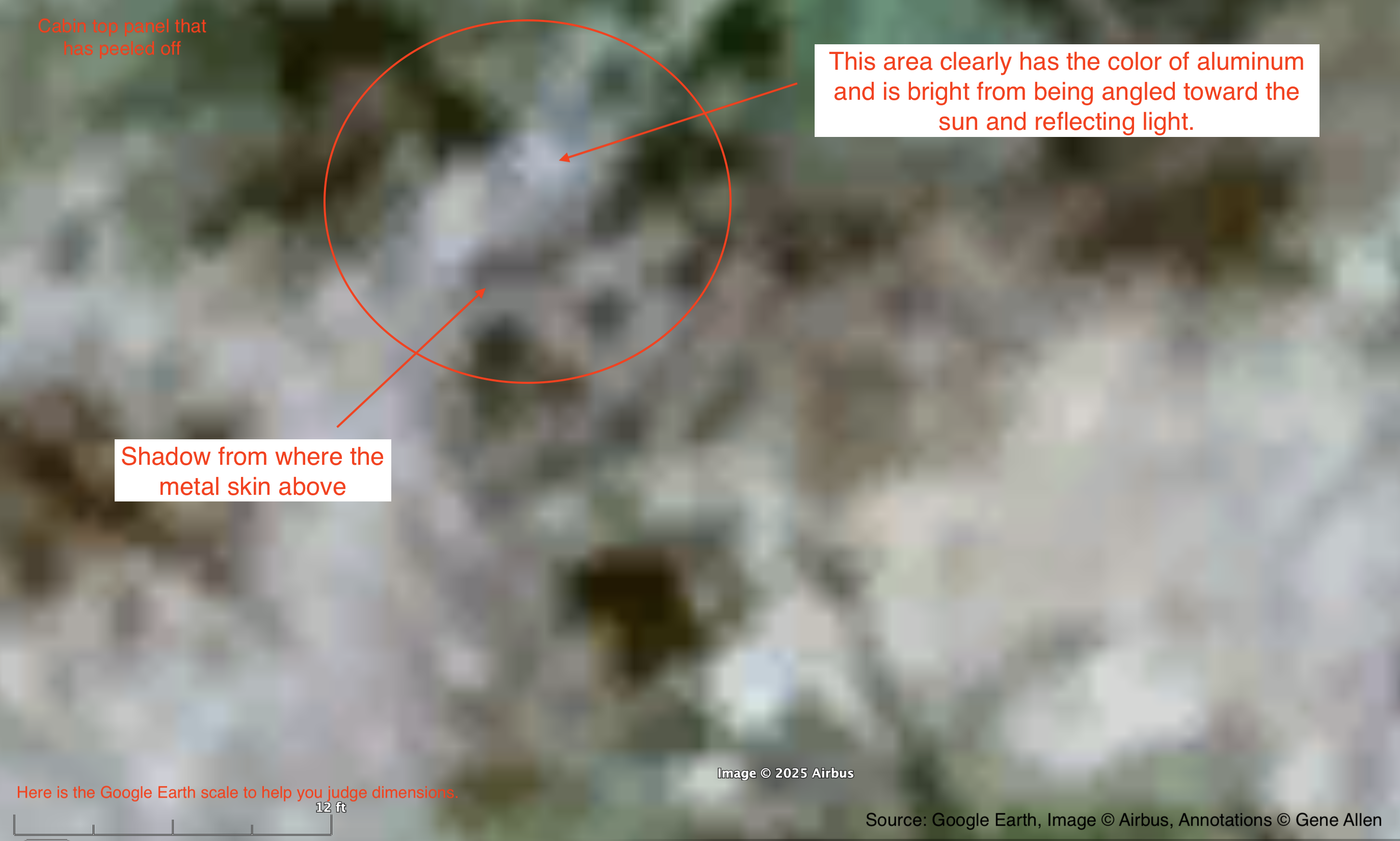
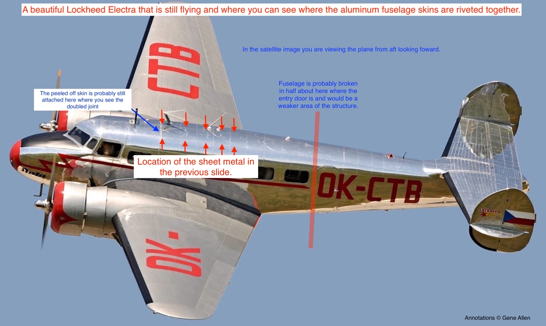
Also keep in mind that the wreckage was likely picked over and stripped of anything useful by the Gilbertese colonists who arrived in 1938. Their possession of aircraft parts and pieces and knowledge of aircraft wreckage that they could get at has already been documented. The top of the main fuselage appears to be missing or crushed in. Possibly by the Gilbertese using whatever crude tools they had to dismantle it. That is where you will see a peeled off fuselage skin that can be exactly identified as to its location on an Electra.
They each have at least some shape characteristics consistent with that part of a Lockheed Electra. Likewise, all but one have dimensions as measured by Google Earth that are consistent with that part of an Electra.
After 88 years in the open, don't expect to find her Electra as you remember it.
The images are zoomed in to where they are very blurry. If you don't see anything at first, relax your focus. Look for gradients of color or shading that will help you find the lines, curves, and profiles that define the object. Most of these, I looked at repeatedly over the course of days before finding them all. You have to get used to looking through the blur. The terrain in this area seems to have a lot of patches of white sand that may have blown in with the airplane. Unfortunately, that makes aluminum things very hard to see.
I've already been told that I have a vivid imagination and that may turn out to be true. But the fact that my imagination is only working in this one 100-ft circle, where there are four objects with shapes and dimensions matching an Electra, indicates to me that something is here. I have also inspected every inch of the surrounding area and have not imagined Electras anywhere else. There are other objects in this area with curves, or straight lines and right-angle corners, indicating man-made objects, but otherwise unidentifiable.
I wouldn't be surprised if one or more of these objects turned out to be an illusion. But if any one of them isn't, then that is all it takes.
These objects are in plain sight now that the vegetation on this part of the island has dramatically receded in the past five years for some unknown reason. Satellite images from just 2022 show this area almost completely covered in vegetation. Someday, someone will get a better resolution image of this area, or fly a drone over, or walk the beach to see what's there. It is no longer impenetrable jungle. This will be easy to prove or disprove. Let me know what you find.
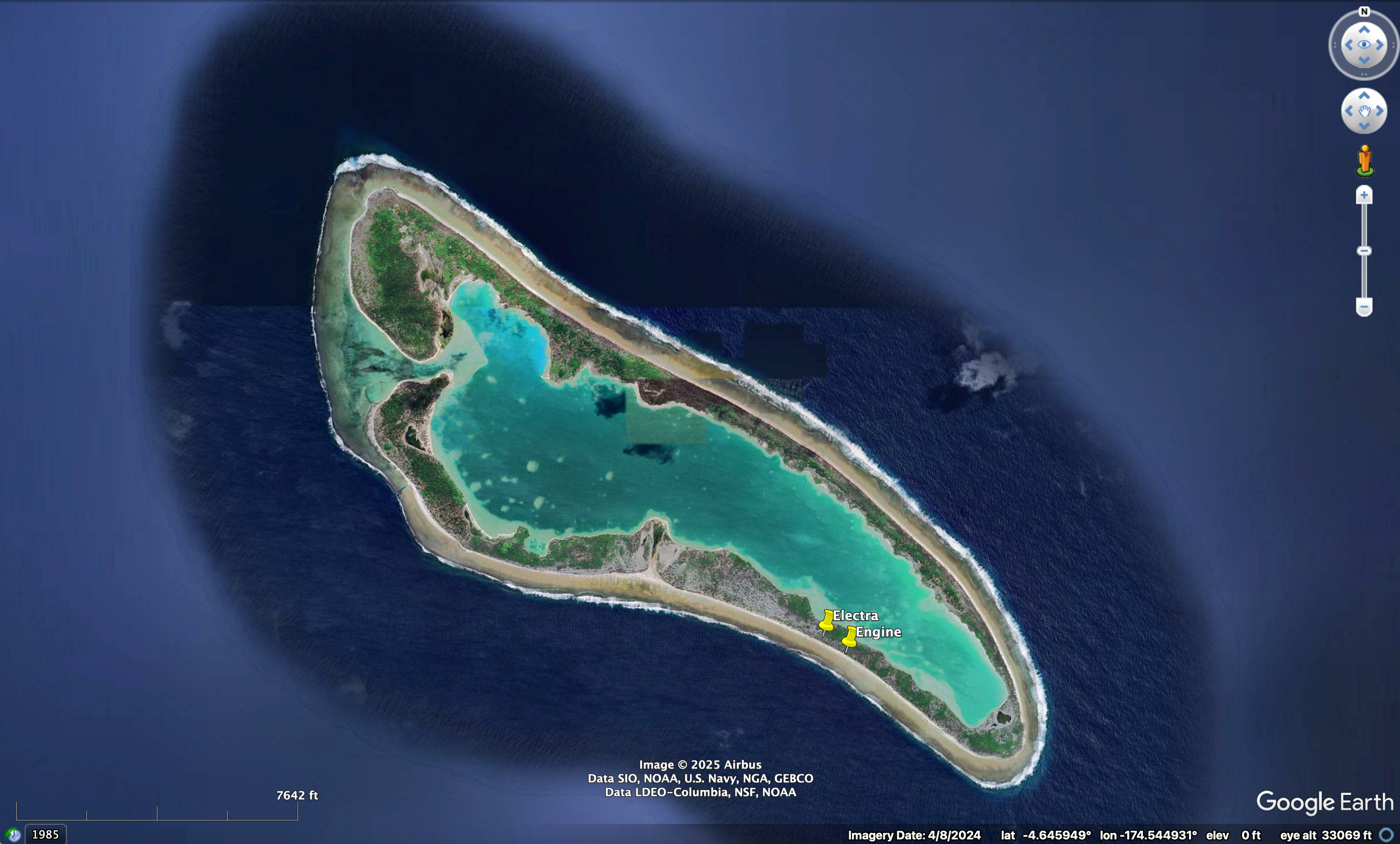
Main wreckage: 4° 41.27′ S, 174° 30.46′ W (-4.6878, -174.507607)
Click here to download a Google Earth .kmz file with locations of these objects.
Click here to watch a YouTube video narriation of this page. (25 minutes)
Click here to watch a YouTube video narriation of just the fuselage & tail. (10 minutes)
Fuselage
1 of 5. Closeup forward fuselage in satellite image. (Tail missing.)
2 of 5. Closeup of forward fuselage using 3D model to show orientation and your point of view.
3 of 5. Closeup of forward fuselage with annotations.
4 of 5. Closeup of forward fuselage showing peeled off fuselage skin.
5 of 5. Lockheed Electra showing location of peeled off fuselage skin.
Tail
1 of 4. Area overview from ~300 feet high
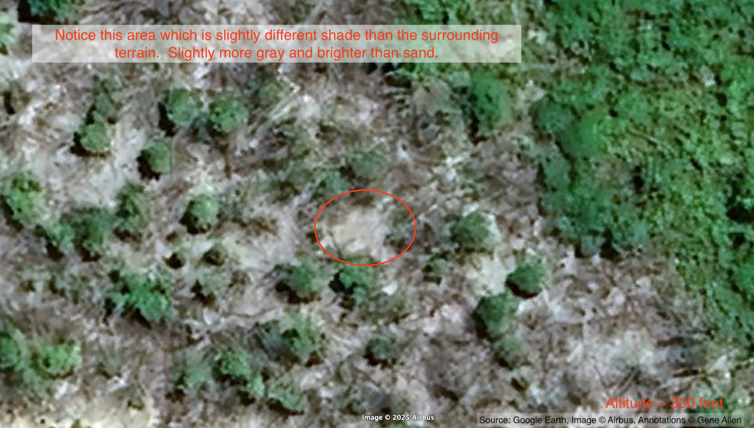
2 of 4. Area overview from ~200 feet.
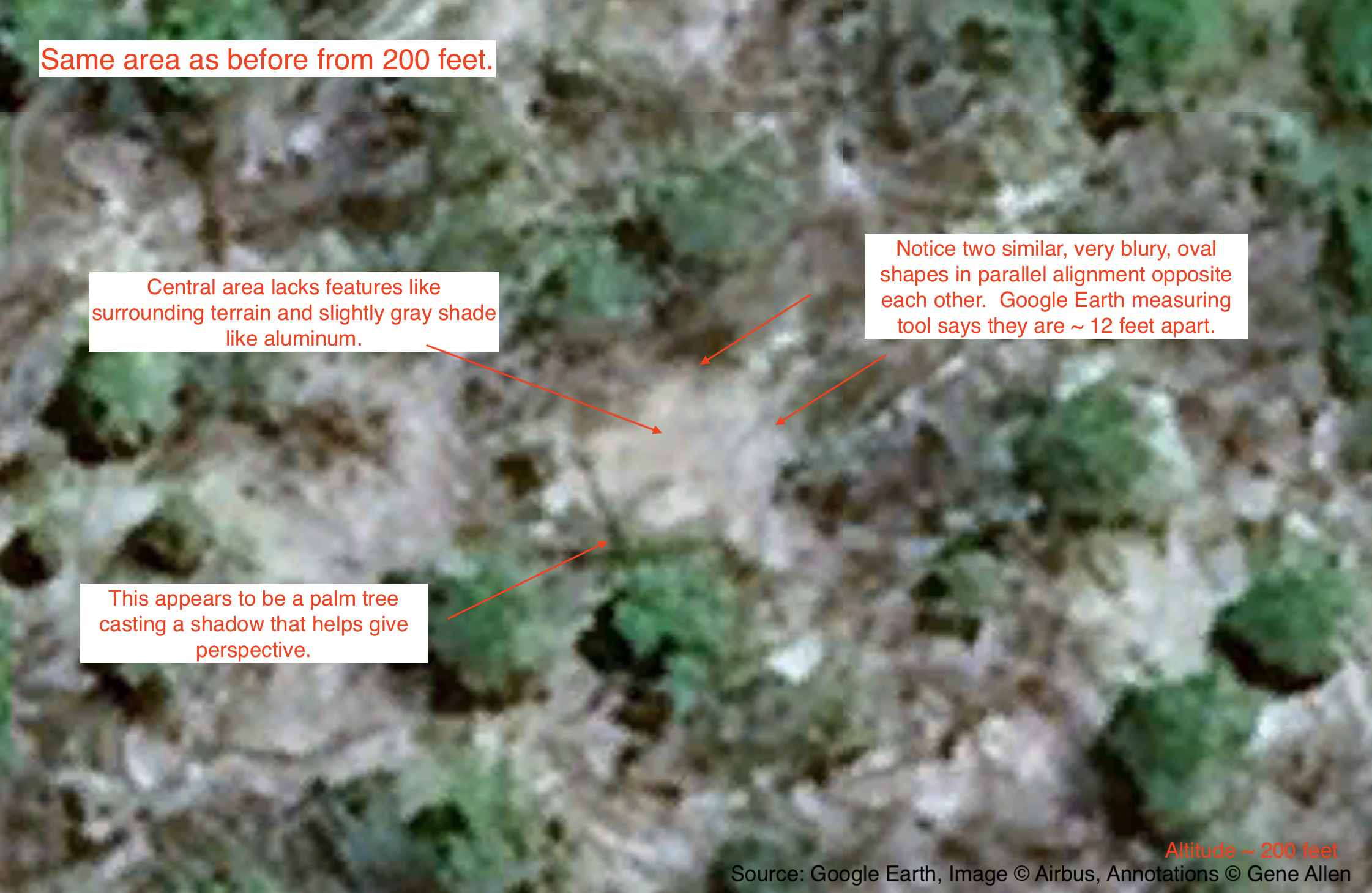
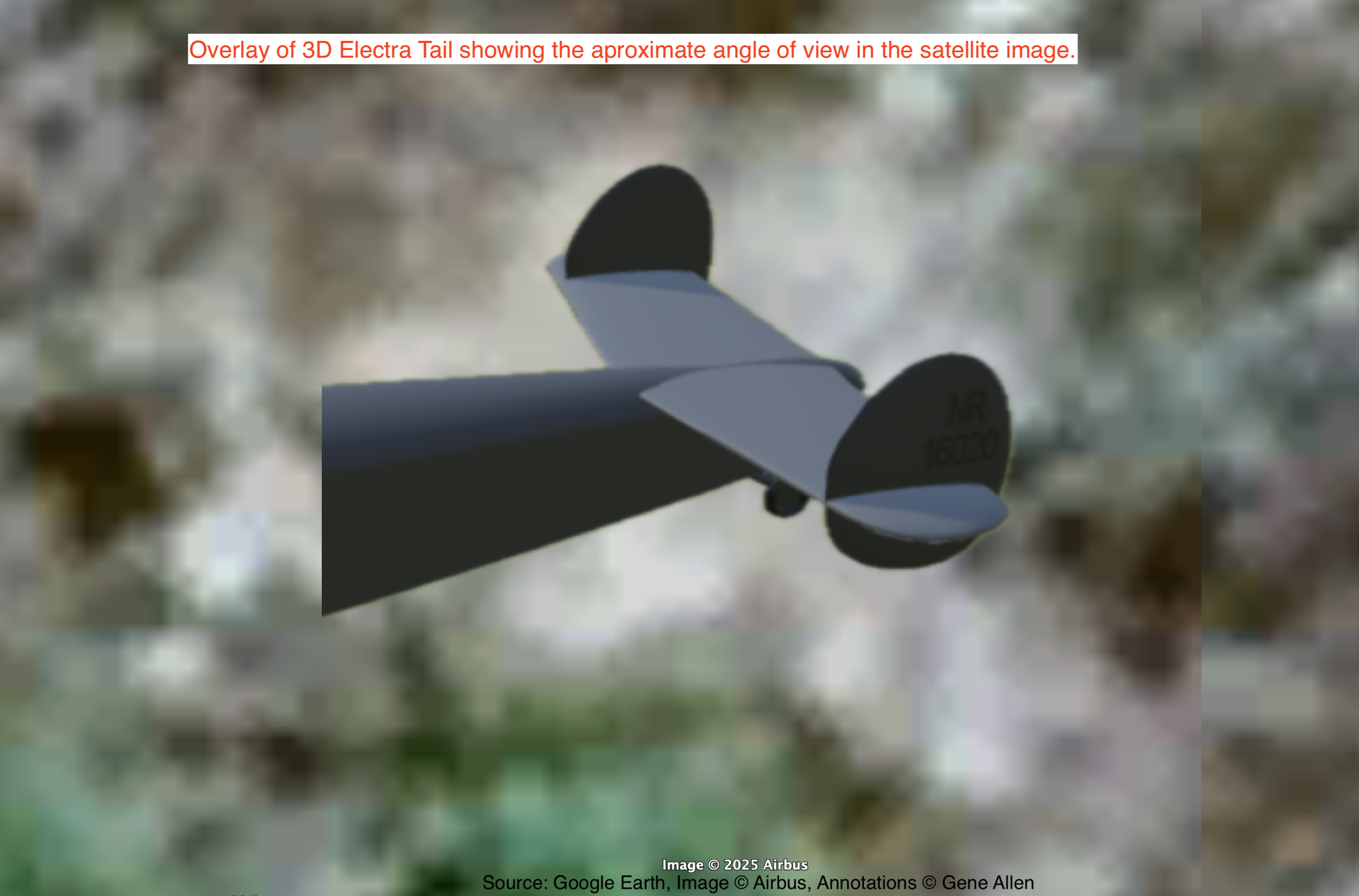
3 of 4. Closeup of tail shaped object with annotations.
4 of 4. Showing your point of view in the satellite image.
Wing
1 of 3. Closeup of wing shaped object without annotations.
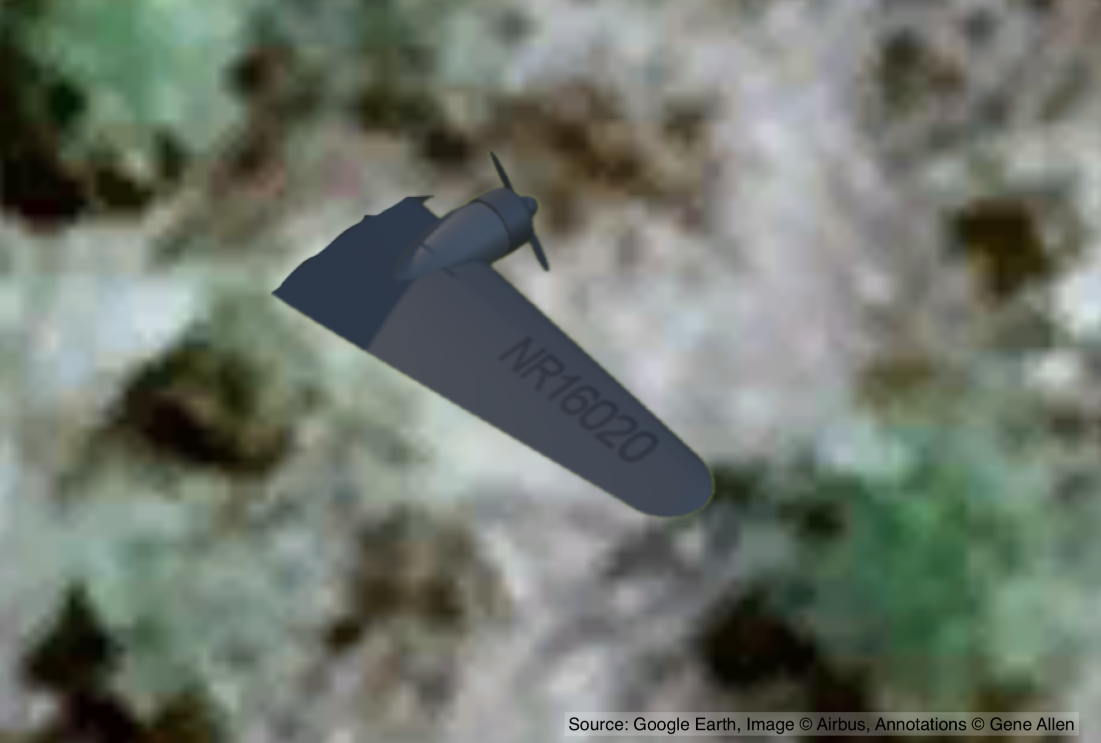
2 of 3. Closeup of wing shaped object with annotations.
3 of 3. Image with 3D Electra model showing your point of view.
Engine
1 of 2. Closeup of engine nacell without annotations.
2 of 2. Closeup of engine nacell with annotations.
Overview
1 of 1. Overview of above objects.
Engine
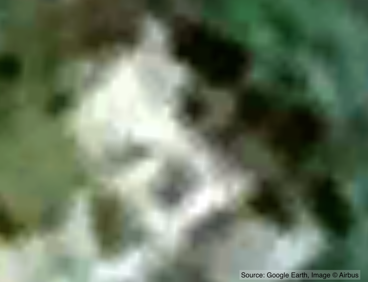
1 of 2. Closeup of second engine without annotations.
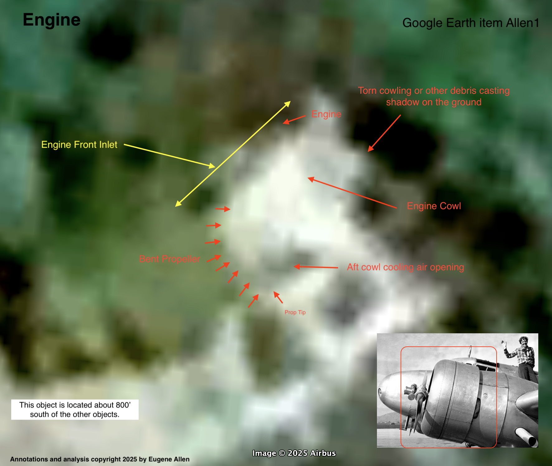
Located ~800' south of above objects at: 4° 41.34′ S, 174° 30.35′ W (-4.689030°, -174.505890)
2 of 2. Closeup of second engine with annotations.
Wing
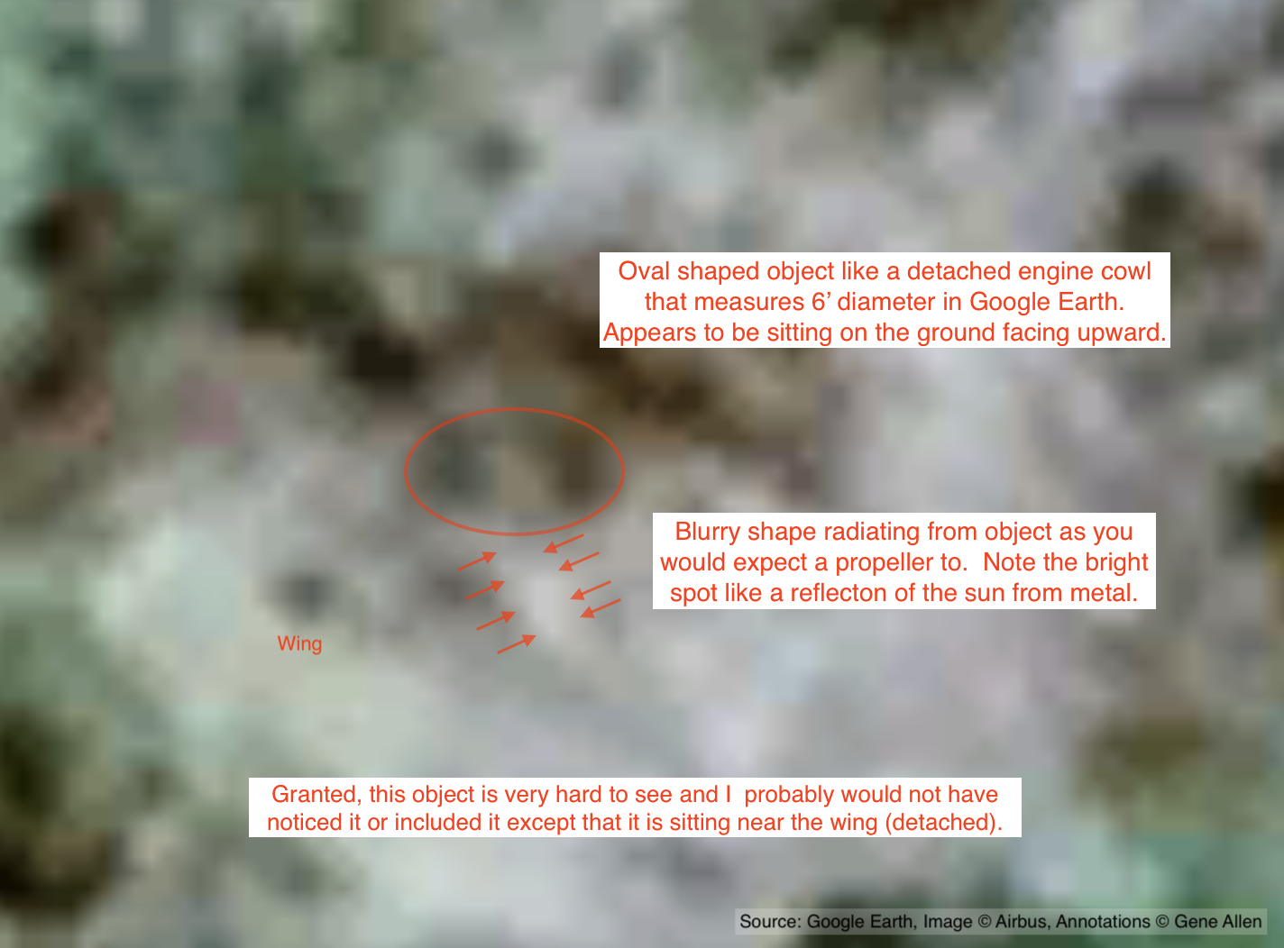
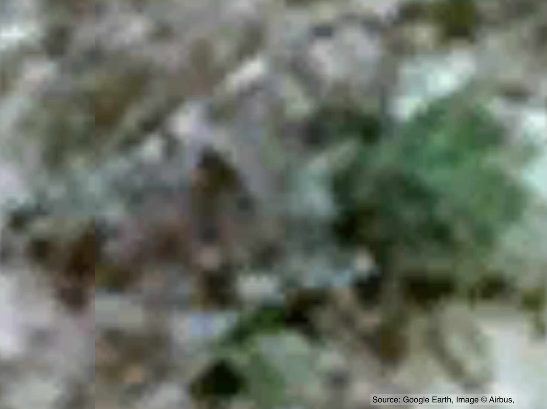
1 of 3. Closeup of wing shaped object without annotations.
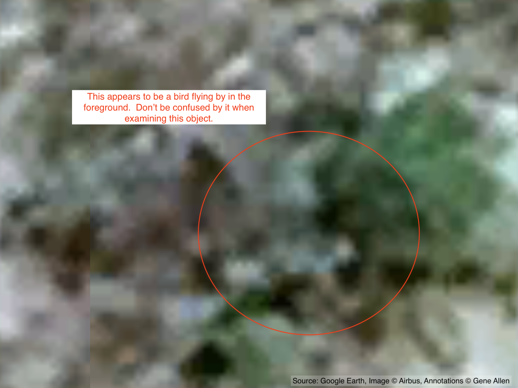
2 of 3. Beware of bird flying by in the foreground.
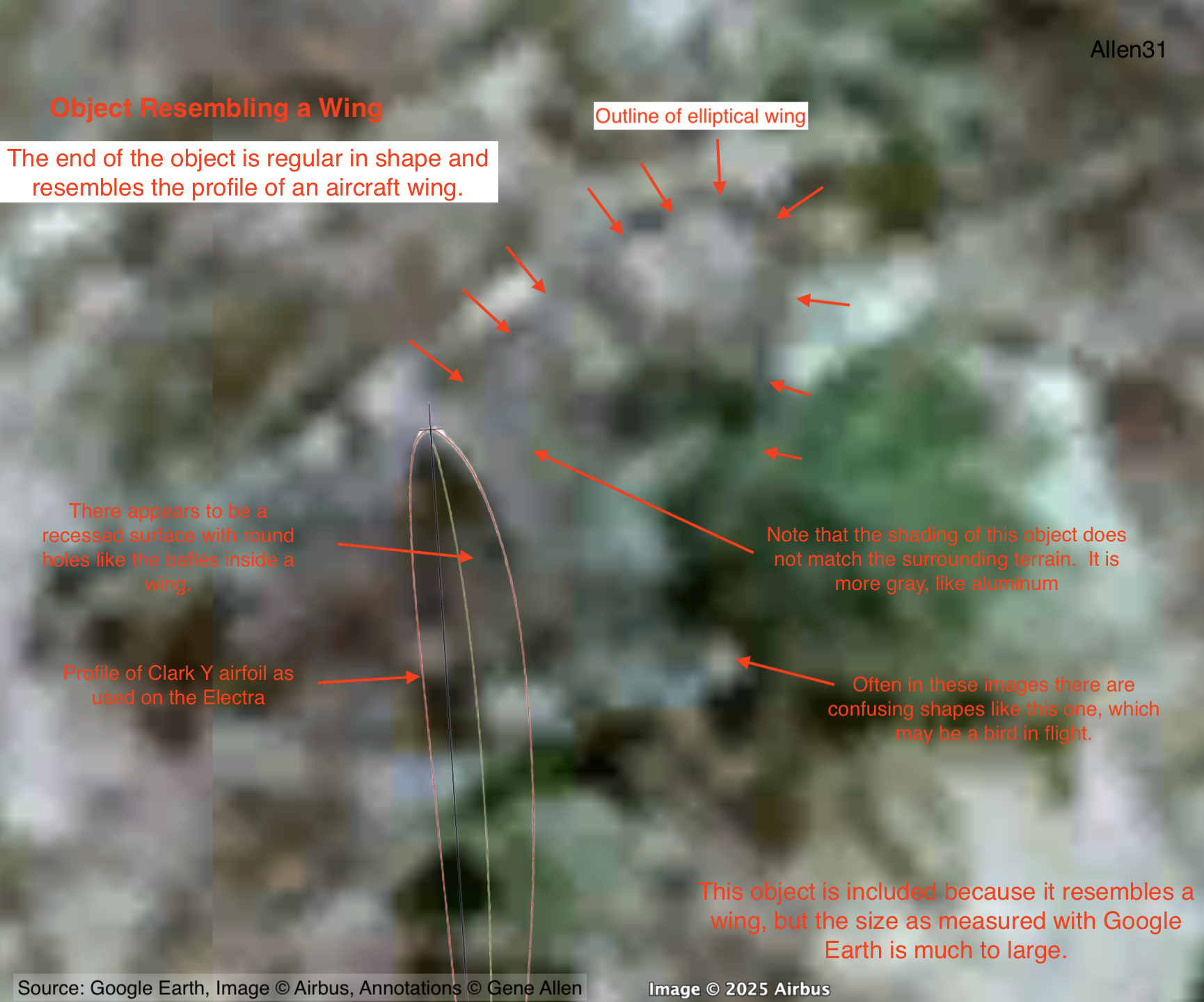
3 of 3. Closeup of wing shaped object with annotations..
Location
1 of 1. Showing the location of above objects on the island. See top of page for coordinates..
© 2025 Gene Allen. All rights reserved.
The annotations, coordinates, analysis, and original content on this page are the intellectual property of Gene Allen and are licensed under a Creative Commons Attribution 4.0 International License (CC BY 4.0) .
You are free to:
- Share — copy and redistribute the material in any medium or format
- Adapt — remix, transform, and build upon the material for any purpose, even commercially
You must:
- Give appropriate credit to Gene Allen, Independent Researcher
- Provide a link to the license: https://creativecommons.org/licenses/by/4.0/
- Indicate if changes were made
For TV, podcasts, radio, or any broadcast:
Please credit: “Imagery and discovery by Gene Allen, Independent Researcher.”
Base satellite imagery © Airbus via Google Maps. Used under fair use for research and news reporting.
3D model of Electra by manilov.ap at SketchFab.com used by Creative Commons license with modification to show individual pieces.
Electra OK-CTB is located at Prague Tocna Airport.
Banner photo of Gardner Island courtesy of Air Force Museum of New Zealand. Used by Creative Commons License.